Choose a PHOTO SUBSCRIPTION and download FREE RIGHTS images.
Plans and prices of the image bank.
Login
Royalty free illustration
699853056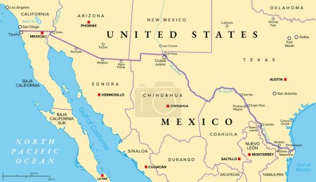
- Id: 699853056
- Media type: Vector
- Author: Furian
- Keywords:
vector illustration travel border city american usa capital crossing country map cartography geography land overview mexican state texas arizona america international mexico california atlas americas Tucson Chihuahua laredo juarez tijuana mexicali coahuila sonora North America United States San Diego new mexico colorado river del rio Rio Grande Baja California el paso Nuevo Leon tamaulipas ciudad juarez reynosa northern mexico borderplex paso del norte mexico united states border
Categories
| Size | Width | Height | Mp |
|---|---|---|---|
| s | 500 px | 288 px | 0.5 |
| m | 1000 px | 576 px | 2 |
| l | 2000 px | 1152 px | 8 |
| xl | 9000 px | 5186 px | 15 |
| vect | 9000 px | 5186 px | - |
You are not logged in!
Please login to download this image.