Choose a PHOTO SUBSCRIPTION and download FREE RIGHTS images.
Plans and prices of the image bank.
Royalty free illustration
699955250
- Id: 699955250
- Media type: Vector
- Author: momcilo.jovanov
- Keywords:
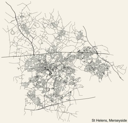
vector curve illustration design sign travel transportation car road traffic symbol city beige data planning street highway town journey outline district direction map cartography land patriotism asphalt government community england merseyside road sign coat of arms travel destinations Residential District Global Positioning System Physical Geography Road Trip Construction Industry Road Marking Road Map Navigational Equipment Road Intersection transparent background Geographical Border plan document Landscape Scenery borough district type
Categories
| Size | Width | Height | Mp |
|---|---|---|---|
| s | 500 px | 480 px | 0.5 |
| m | 1000 px | 961 px | 2 |
| l | 2000 px | 1922 px | 8 |
| xl | 5100 px | 4900 px | 15 |
| vect | 5100 px | 4900 px | - |
You are not logged in!
Please login to download this image.
