Choose a PHOTO SUBSCRIPTION and download FREE RIGHTS images.
Plans and prices of the image bank.
Royalty free illustration
718932036
- Id: 718932036
- Media type: Vector
- Author: Furian
- Keywords:
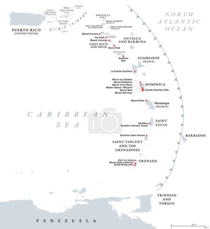
group vector illustration gray active Arc country map cartography geography geology overview island volcano islands caribbean atlas caldera volcanic mapping dominica Grenada nevis Grenadines martinique Guadeloupe montserrat archipelago Antilles Volcanoes saba Soufriere infographic Caribbean Sea saint kitts Lesser Antilles active volcano Saint Lucia volcanic island leeward islands sint eustatius political map caribbean islands Windward Islands Mount Pelee the quill mount scenery qualibou mount saint catherine island arc
Categories
| Size | Width | Height | Mp |
|---|---|---|---|
| s | 458 px | 500 px | 0.5 |
| m | 915 px | 1000 px | 2 |
| l | 1830 px | 2000 px | 8 |
| xl | 6000 px | 6557 px | 15 |
| vect | 6000 px | 6557 px | - |
You are not logged in!
Please login to download this image.
